| Locator | Hist Soc - HS-H00868 | Type | Drawing | Doc Number | 1428 | |
|---|---|---|---|---|---|---|
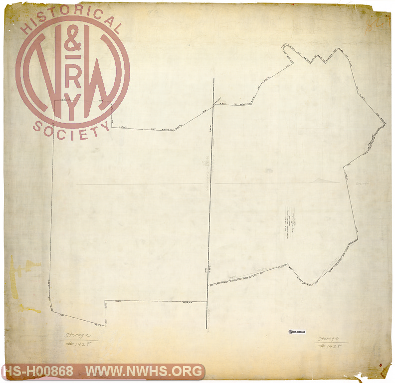
| Description | Untitled, undated Map of Lands of the Virginia Company in Carroll County Virginia adjacent to the North Carolina State Line | |||||
| Notes | References N-11079, Virginia Holding Corp. to W.A. Hawks, 2 parcels. | |||||
| Date | 11/19/1890 | Revision Date | 03/26/1926 | |||
| Author | N&W Railroad | Accession | 2009.001 : NS Corp/Va Tech Collection | |||

|
||
Size: 39in x 38in (98cm x 95cm) |
| Related | Bound Volume - BV-E00001 | Copy, Index of Maps, W.W. Coe Incomplete index to early engineering drawings. Drawing numbers range from single digits into the high 2000s. Not all drawing numbers in that range listed. ~116 pages plus cover, several pages blank. |
|
| Related | 1428 | Hist Soc - HS-CC02522 | Land to be Deeded to the Norfolk & Western Railroad Co. (Adjacent to NC/VA state line) |
| Related | 1428 | Hist Soc - HS-D04908 | Map of Lands of the Norfolk and Western R.R. Co. in Carroll County, Virginia adjacent to the North Carolina State Line Scale 1"=200' |
| Related | 1428 | Hist Soc - HS-D04909 | Map of Lands of the Virginia Company in Carroll County Virginia adjacent to the North Carolina State Line Scale 1"=200', "Leased to H.F. Niston Apr. 1923", N_11079 to W.A. Hawks 3/26/1926 |
| Structure | Land |
| Company | N&W RR - Norfolk & Western Railroad |
| Company | Virginia Company, The |
| Division | N&W RR - North Carolina |