| Locator | Hist Soc - HS-C04274 | Type | Drawing | Doc Number | 2394 | |
|---|---|---|---|---|---|---|
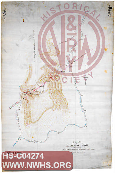
| Description | Plat of Clayton Lead between Wolfpit Branch & Bobbitt's Creek | |||||
| Notes | Scale 1"=600', Shows N&W RR. Title from W.W. Coe index to Maps: "North Carolina Extension - Clayton lead between Wolf Pit Branch and Bobbitt's Creek 1 600' = 1" | |||||
| Date | Revision Date | |||||
| Author | Accession | 2009.001 : NS Corp/Va Tech Collection | ||||
|
|

|
|
Size: 12in x 18in (31cm x 47cm) |
| Parent | Bound Volume - BV-E00001 | Copy, Index of Maps, W.W. Coe Incomplete index to early engineering drawings. Drawing numbers range from single digits into the high 2000s. Not all drawing numbers in that range listed. ~116 pages plus cover, several pages blank. |
| Structure | Land |
| Company | N&W RR - Norfolk & Western Railroad |