| Related |
|
Bound Volume - BV-E00001 |
Copy, Index of Maps, W.W. Coe
Incomplete index to early engineering drawings.
Drawing numbers range from single digits into the high 2000s. Not all drawing numbers in that range listed.
~116 pages plus cover, several pages blank. |
| Child |
950 |
Hist Soc - HS-F02489 |
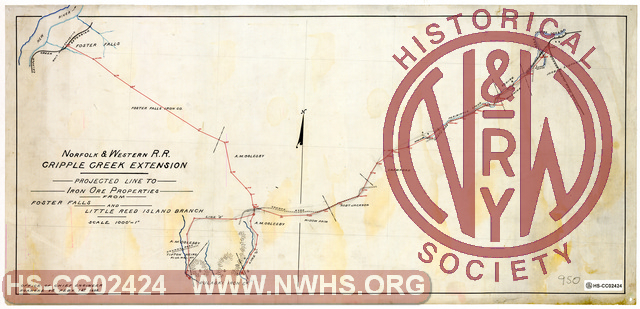
N&W RR Cripple Creek Extension, Profile and Projected line from end of Periwinkle Branch to Iron Properties of Pulaski Iron Co. (Tipton property) |
| Child |
950 |
Hist Soc - HS-A07843 |
Estimate from Foster Falls to Tipton Property, Distance 3.73 miles. |
| Child |
950 |
Hist Soc - HS-H00866 |
N&W RR Cripple Creek Extension, Profile and Projected line from Foster Falls to Iron Properties of Pulaski Iron Co. (Tipton property) |
| Child |
950 |
Hist Soc - HS-E02036 |
N&W RR Cripple Creek Extension, Profile and Projected line from Jackson's Ferry to Iron Properties of Pulaski Iron Co. (Tipton property) |
