| Locator | Hist Soc - HS-C10140 | Type | Drawing | Doc Number | 11229-B | |
|---|---|---|---|---|---|---|
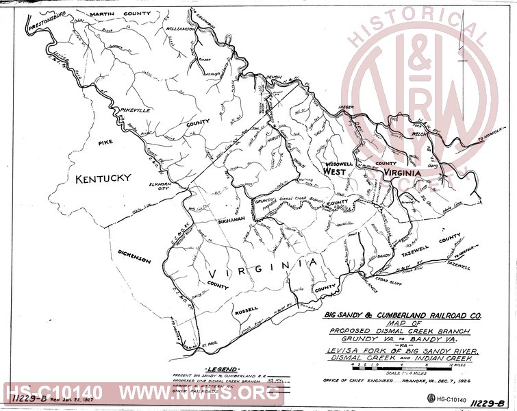
| Description | Big Sandy & Cumberland Railroad Co., Map of Proposed Dismal Creek Branch, Grundy Va to Bandy VA via Levisa Fork of Big Sandy River, Dismal Creek and Indian Creek | |||||
| Notes | 1' = 4 miles, blue on paper copy | |||||
| Date | 12/07/1926 | Revision Date | 01/22/1927 | |||
| Author | Accession | 2009.001 : NS Corp/Va Tech Collection | ||||

|
||
Size: 20in x 16in (52cm x 41cm) |
| Cities Indexes | |
|---|---|
| City | State |
| Grundy | VA |
| Bandy | VA |
| Railroads and Companies | |
|---|---|
| Abbreviation | Name |
| BS&C RR | Big Sandy & Cumberland Railroad |