| Locator | Hist Soc - HS-K10579 | Type | Drawing | Doc Number | B-4433 | |
|---|---|---|---|---|---|---|
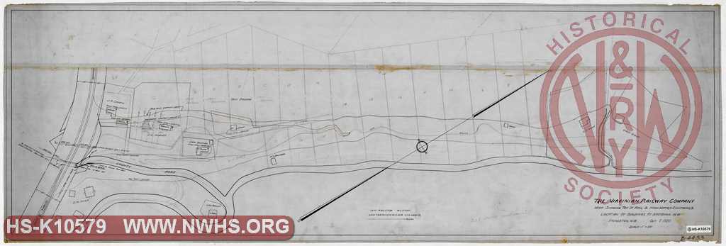
| Description | VGN Rwy, Map Showing Top of Rail and High Water Contours & Location of Buildings at Matoaka, WV | |||||
| Date | 10/07/1920 | Revision Date | ||||
| Author | VGN Rwy - Princeton WV | Accession | 2009.001 : NS Corp/Va Tech Collection | |||

|
||
Size: 52in x 18in (132cm x 45cm) |
| Cities Indexes | |
|---|---|
| City | State |
| Matoaka | WV |
| Structures Indexes | |
|---|---|
| Category | Type |
| Right of Way | Drainage |
| Land | Drainage |
| Railroads and Companies | |
|---|---|
| Abbreviation | Name |
| VGN Rwy | Virginian Railway |
| Division Indexes | |||
|---|---|---|---|
| Road Name | Division | District/Branch | Mile Post |
| VGN Rwy | New River | ||