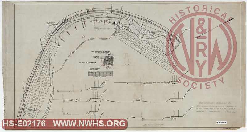
| Locator | Hist Soc - HS-E02176 | Type | Drawing | Doc Number | C-5833(a) | |
|---|---|---|---|---|---|---|
| Description | VGN, Map showing location of Cribbing to be constructed at MP 377.3 | |||||
| Date | 03/01/1922 | Revision Date | ||||
| Author | VGN Railway | Accession | 2009.001 : NS Corp/Va Tech Collection | |||

|
||
Size: 42in x 23in (107cm x 57cm) |
| Cities Indexes | |
|---|---|
| City | State |
| Mullens | WV |
| Structures Indexes | |
|---|---|
| Category | Type |
| Right of Way | Timber Cribbing |
| Railroads and Companies | |
|---|---|
| Abbreviation | Name |
| VGN Rwy | Virginian Railway |
| Division Indexes | |||
|---|---|---|---|
| Road Name | Division | District/Branch | Mile Post |
| VGN Rwy | New River | 377 | |
| Related Documents | |||
|---|---|---|---|
| Type | Number | Locator | Description |
| Related | C-5833(c) | Hist Soc - HS-D05321 | VGN, Map showing Slab Fork Channel in vicinity of A.J. Mullin's Property |
| Related | C-5833(b) | Hist Soc - HS-E02177 | VGN, Map showing Slab Fork Channel in vicinity of A.J. Mullin's Property |