| Locator | Hist Soc - HS-D05099 | Type | Drawing | Doc Number | B-3659 | |
|---|---|---|---|---|---|---|
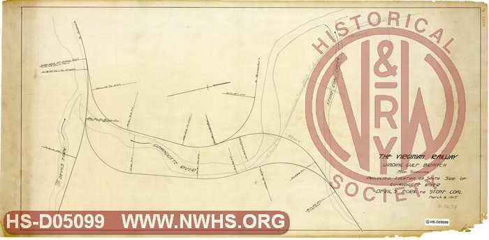
| Description | VGN Rwy Winding Gulf Branch, Map Showing Projected Location on South Side of Guyandotte River, Devils Fork to Stone Coal | |||||
| Date | 03/06/1915 | Revision Date | ||||
| Author | VGN Railway | Accession | 2009.001 : NS Corp/Va Tech Collection | |||

|
||
Size: 35in x 17in (89cm x 44cm) |
| Cities Indexes | |
|---|---|
| City | State |
| Stone Coal | WV |
| Devils Fork | WV |
| Structures Indexes | |
|---|---|
| Category | Type |
| Track | Profile |
| Railroads and Companies | |
|---|---|
| Abbreviation | Name |
| VGN Rwy | Virginian Railway |
| Division Indexes | |||
|---|---|---|---|
| Road Name | Division | District/Branch | Mile Post |
| VGN Rwy | New River | Winding Gulf Br | |
| Related Documents | |||
|---|---|---|---|
| Type | Number | Locator | Description |
| Related | B-3659 | Hist Soc - HS-C05227 | Profile of Projected Location up South Side of Guyandotte River |