| Locator | Hist Soc - HS-C04997 | Type | Drawing | Doc Number | 10456-E | |
|---|---|---|---|---|---|---|
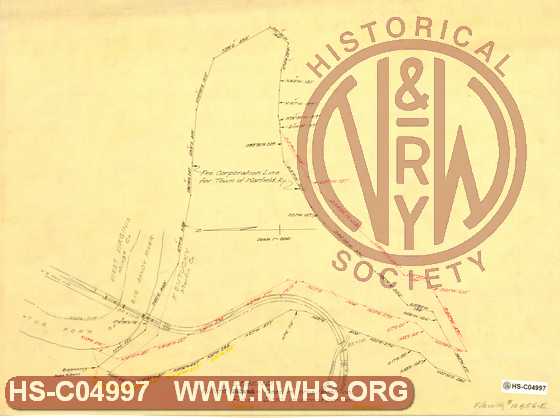
| Description | Untitled drawing of boundaries of Warfield, KY, | |||||
| Notes | Different boundaries of various petitions. Shows N&W Right of Way, bridges 750, 751. | |||||
| Date | 01/01/1879 | Revision Date | 05/12/1931 | |||
| Author | N&W Rwy - Off. Asst Engr | Accession | 2009.001 : NS Corp/Va Tech Collection | |||

|
||
Size: 21in x 16in (54cm x 40cm) |
| Cities Indexes | |
|---|---|
| City | State |
| Warfield | KY |
| Structures Indexes | |
|---|---|
| Category | Type |
| Right of Way | |
| Railroads and Companies | |
|---|---|
| Abbreviation | Name |
| N&W Rwy | Norfolk & Western Railway |
| Division Indexes | |||
|---|---|---|---|
| Road Name | Division | District/Branch | Mile Post |
| N&W Rwy | Scioto | Buck Creek Branch | |
| Related Documents | |||
|---|---|---|---|
| Type | Number | Locator | Description |
| Related | 10456-E | Hist Soc - HS-H00903 | Map of Warfield, Martin Co. Ky, Surveyed & Drawn 1879 |