| Locator | Hist Soc - HS-G10775 | Type | Drawing | Doc Number | V1/7 | |
|---|---|---|---|---|---|---|
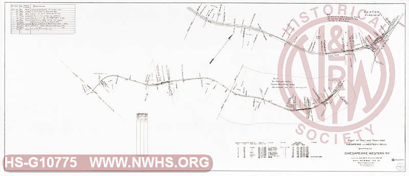
| Description | Right of Way and Track Map, Chesapeake and Western RR Co. operated by Chesapeake Western Ry. Station 903+58 to Station 1046+69 | |||||
| Notes | Scale 1"=400'. Inglewood, Elkton. Shows wye connection to N&W at Elkton. |
|||||
| Date | 03/01/1917 | Revision Date | 12/31/1957 | |||
| Author | Chesapeake & Western | Accession | 2009.001 : NS Corp/Va Tech Collection | |||

|
||
Size: 56in x 24in (143cm x 61cm) |
| Cities Indexes | |
|---|---|
| City | State |
| Elkton | VA |
| Inglewood | VA |
| Structures Indexes | |
|---|---|
| Category | Type |
| Track | Wye |
| Railroads and Companies | |
|---|---|
| Abbreviation | Name |
| Chesapeake Western Railway | |
| Division Indexes | |||
|---|---|---|---|
| Road Name | Division | District/Branch | Mile Post |
| N&W Rwy | Shenandoah | ||
| Chesapeake Western Railway | |||
| Related Documents | |||
|---|---|---|---|
| Type | Number | Locator | Description |
| Related | V1/6 | Hist Soc - HS-G10774 | Right of Way and Track Map, Chesapeake and Western RR Co. operated by Chesapeake Western Ry. Station 692+38 to Station 903+58 |
| Related | V1/7 | Hist Soc - HS-G10598 | Right of Way and Track Map, Chesapeake and Western RR Co. operated by Chesapeake Western Ry. Station 903+58 to Station 1046+69 |