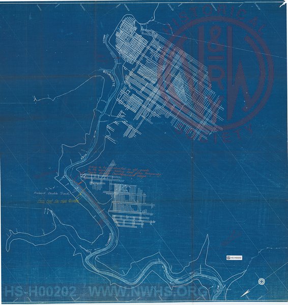
| Locator | Hist Soc - HS-H00202 | Type | Drawing | |||
|---|---|---|---|---|---|---|
| Description | Map along Guyandotte River showing mine layout in relation to railroad property | |||||
| Date | Revision Date | 02/28/1951 | ||||
| Author | Virginian Railway | Accession | ||||

|
||
Size: 32in x 34in (82cm x 87cm) |
| Cities Indexes | |
|---|---|
| City | State |
| Itmann | WV |
| Structures Indexes | |
|---|---|
| Category | Type |
| Mine | Coal |
| Company Document Indexes | ||
|---|---|---|
| Name | Section | SubSection |
| VGN Rwy | Capital Projects | AFE |
| Division Indexes | |||
|---|---|---|---|
| Road Name | Division | District/Branch | Mile Post |
| VGN Rwy | New River | Guyandot River Br | 4 |
| Related Documents | |||
|---|---|---|---|
| Type | Number | Locator | Description |
| Parent | VGN 6779 | VGN AFE - VGN 6779 | Construct Mine Tracks for Pocahontas Fuel Co at Itmann, W. Va. (includes Drawings K-2009, 17, 18, 19, 20 & K-2022 and MINE MAP) |