| Locator | Hist Soc - HS-C00055 | Type | Map | Doc Number | 12545-H | |
|---|---|---|---|---|---|---|
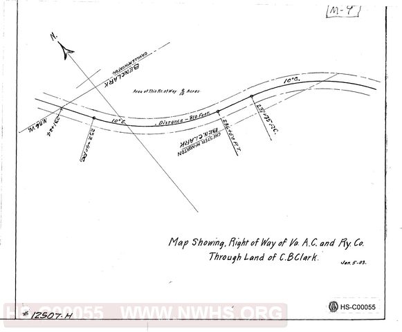
| Description | Map showing RoW of Virginia Anthracite Coal & Railway Co through lands of C. B. Clark | |||||
| Notes | Shows 0.9 acres of right of way from station 231+24 through station 237+75. Adjoining landowners are Orville McNorton and Chester McNorton. | |||||
| Date | 01/05/1903 | Revision Date | ||||
| Author | Va Anthracite Coal & Ry Co | Accession | 2005.004 : Library of Virginia | |||

|
||
Size: 13in x 11in (33cm x 28cm) |
| City | Christiansburg - VA |
| Company | VAC&RY - Virginia Anthracite Coal & Railway |
| Division | N&W Rwy - Radford - Blacksburg Br |