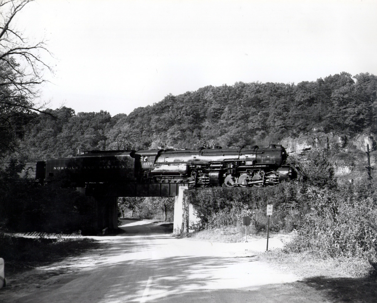
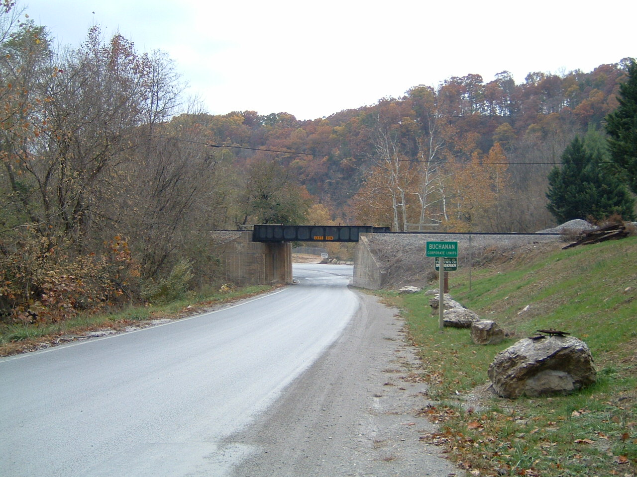
Looks to me to be taken from the east side of the tracks where Rt. 43 from Bedford to Buchanan passes beneath the Shenandoah Valley line just south of MP H213 at the Liberty Limestone Plant.
Jimmy Lisle
The nomination of Buchanan is a good one. The major features of the photo - the creek on left, the road curving left with a valley beyond - fit the location, although many of the details have changed in the years since, with the road being paved and the quarry entrances having being modified and widened. From the road today, tree growth has hidden the rock face from view, at least while the leaves are on, so I can't be 100% certain. But I'd wager that rock face is still visible from rail level in the winter. I agree with Jimmy Lisle.
Joe Shaw
Plus, the locomotive is one that regularly saw service on the Shenandoah line.
Jim Brewer
Good point. Looking again at the photo closely, it does have the ATC box under the running board, which would fit with the Shenandoah line.
Andre Jackson and/or Lisa Burrows
Hey, guys! The 2120-2161 and 2163-2180 were ALL assigned to Shaffers Crossing and they ALL had the ATC. (The 2162 was assigned to Bluefield, as were the 2181-2200). So the 2177 would regularly see service to Hagerstown, Bristol, Bluefield, Crewe-Lamberts Point, and Winston-Salem. Along with all the rest of them.
I'm not familiar with the Buchanan area, but if I remember correctly from my trips down Bluefield Mountain on the old highway, all of those overpasses were little deck girder bridges, no through ones like in that photograph. The bridges on the eastbound main where the loads ran had four girders; the westbound only had two.