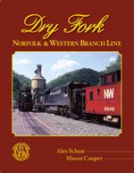
| Dry Fork - Norfolk & Western Branch Line,
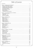
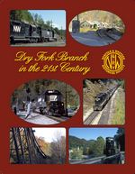
the fourth book in the NWHS’s Branch Line series, is the most extensive book to date with 182 pages. The soft-cover publication uses 118 black/white photographs, 28 maps, and 120 N&W drawings and charts to tell the story of the 44.73 miles of railroad constructed from Dry Fork Junction near Iaeger, West Virginia, to Cedar Bluff, Virginia. Seven color photographs are used on the covers. The Dry Fork Branch, officially started operating in 1906 and is still operating in 2013 as it provides an alternate route between Iaeger and Bluefield.
NWHS’s newest publication uses the original surveys, construction records, track charts, siding agreements, contracts, maps and photographs to tell the why, how, who, what and when of this branch of the N&W. Learn why the coal operators had to pay the construction costs. Learn how the branch line changed over the years. Topology maps are used to show the location of the original mines and modern road maps are provided for the railfan. Detailed tipple track charts aid the model railroader in building realistic model railroad mining operations.
By Alex Schust, Mason Cooper
Click thumbnails for larger view:


|

